What are requirements, roles and definitions:
1. Daylight plane or building envelope
2. Building height - shall be measured from the highest point of the structure to the Grade directly below rather than the lowest point of the site 5 feet away from the building
3. Grade - Grade measured from lowest point of adjacent ground elevation, prior to any earth moving, fill, or padding rather than the lowest point of the finished surface of the adjacent ground elevation as measured five feet from the building
4. A grading and drainage plan roles
5. Basement - means that portion of the building between floor and ceiling, which is fully below Grade or partly below and partly above Grade, but also located that the vertical distance from Grade to floor below is more than the vertical distance from Grade to ceiling [Palo Alto Municipal Code, 18.04.030 (15)]
6. Basements. Basements shall be permitted in areas that are not designated as special flood hazard areas, and may extend to, but not beyond, the building footprint. Basement area shall generally not be included in the calculation of gross floor area, except that basement area that is deemed to be habitable space shall be included as gross floor area unless the finished level of the first floor is no more than three feet above the Grade around the perimeter of the building foundation. [Palo Alto Municipal Code, 18.04.050 (m)]
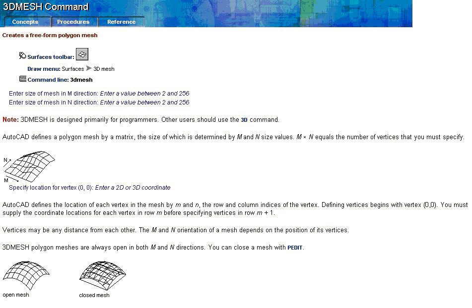
With AutoCAD You may build 3D terrain model, by using 3DMESH command:

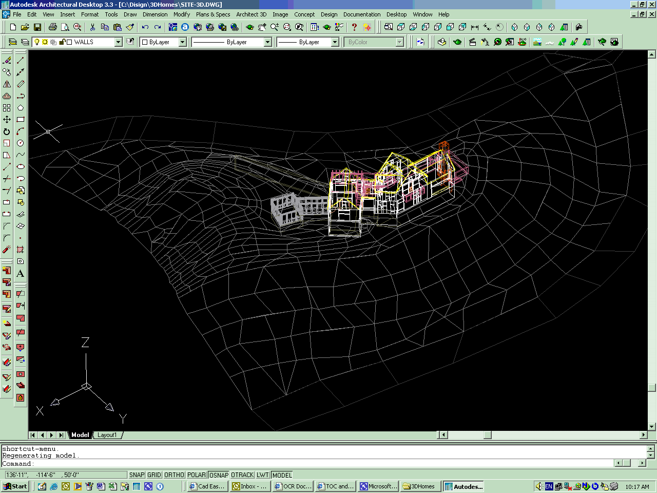
And you'll get something like that:

Now you may insert 3D model of the house
Or you may use EasySite from Cad Easy Corporation
which will help you. Probably
What for else you need soil report ?
If you follow concept that the building and the environmental ground is the one union conglomerate, you need monitor both building and ground (soil) time changes.
So, you really need to create 3D terrain map with sub surfaces, which will clarify soil situation with different types of soils and see soil (ground) interactions with the building along the term of building life from projecting to the future demolishing.
Does AutoCAD desktop, which is named Architectural,
gives you such standard tools in you "set of drawing instruments"?